The Soil CRC’s Visualising Australasia’s Soils (VAS) project provides an online portal to quality soil data from across Australia and New Zealand. Project Leader Associate Professor Peter Dahlhaus from Federation University Australia said VAS is a dynamic web-based platform where Soil CRC researchers, farmers and the broader agricultural industry can share soil information, activities, and research findings.
“VAS uses innovative technology to bring together (federate) a large array of reliable soil datasets from government agencies, industry and grower groups, and individual farmers,” he said. “This data can be interrogated to provide insights into local soil types and constraints, which can help inform soil management practices.”
The project is now in phase two, which aims to create an independent and enduring soil research data federation of public and private sector data.
Associate Professor Dahlhaus said key objectives of VAS are to motivate soil data custodians to make their data Findable, Accessible, Interoperable and Reusable (FAIR), and align with other national and international soil research data initiatives to maximise discovery and reuse.
“VAS relies on individuals and organisations uploading, utilising and sharing their soil data, and we’re fortunate to have 19 Soil CRC participants, including 15 farmer groups, using the VAS portal to explore their soil data.”
VAS now contains data for 2891 sites, with 9788 samples, and 200,707 observations. Datasets continue to be added by project participants through the self-serve system before being mapped into the VAS portal for users to access.
“Importantly, the data custodians maintain ownership and control of their data, and they set the rules around if their data can be shared and under what conditions their data can be used,” he said.
“The project team has developed guidelines for the use and application of data in the portal to ensure appropriate data governance, licensing and access controls are in place.”
Consultation with participating landholders revealed the importance of defining the value proposition of VAS and why it’s worth contributing to. Associate Professor Dahlhaus explained the benefits of participating are numerous, including understanding what data is available for your region and how to use it to your advantage.
“During the life of the project, we’re committed to reporting back to data contributors about the value of their soil data and what it means in terms of soil performance,” he said.
The VAS interface has received a face-lift recently, to improve the user experience and provide additional resources and user guides. The revamped platform is expected to launch later this month and will remain accessible via the Soil CRC website.
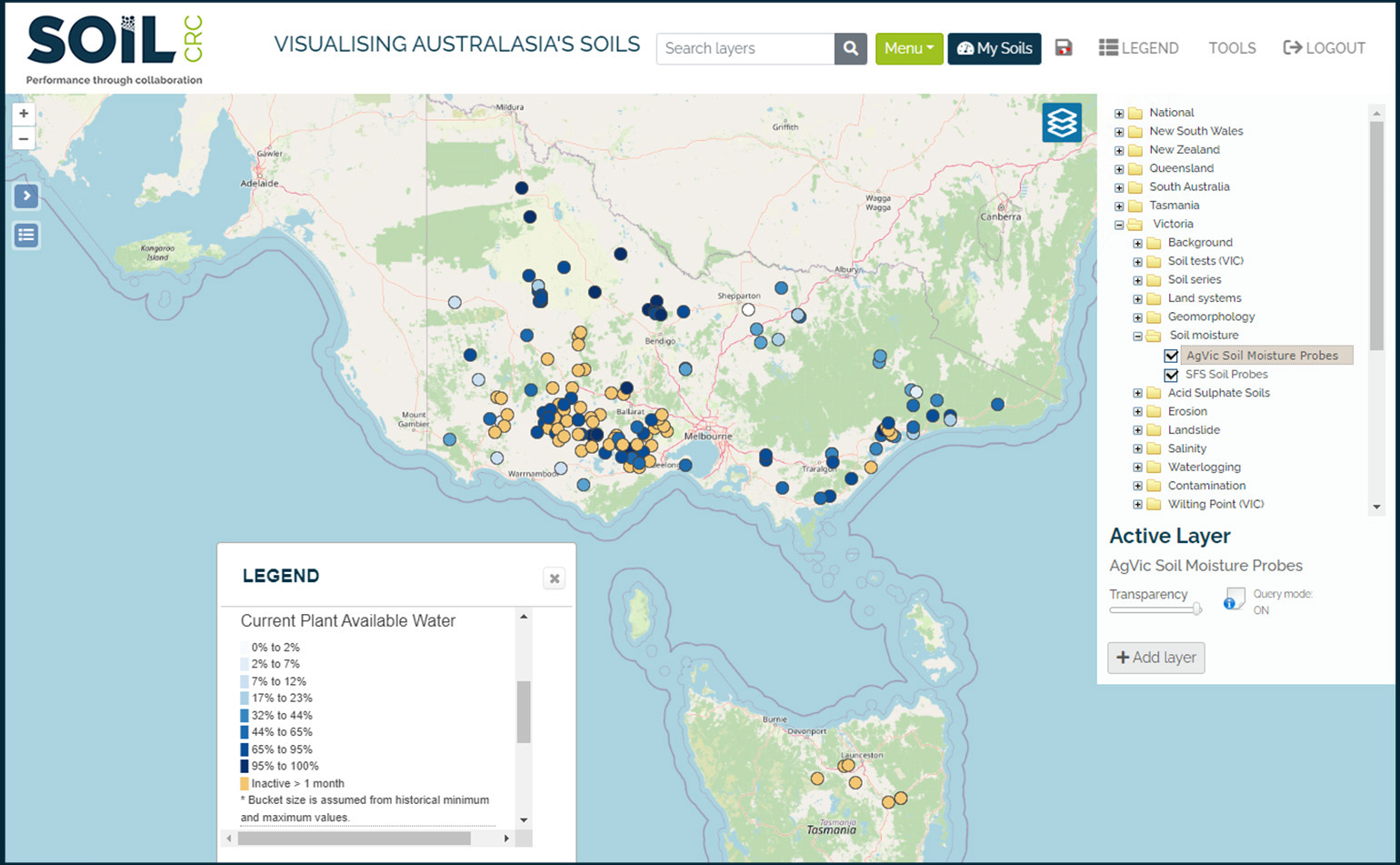
Another recent highlight is the inclusion of soil moisture probe data in the VAS portal. Project participants Southern Farming Systems and Agriculture Victoria were involved in an initial soil moisture data trial, with their probes recording data for VAS. This information is now available, and users can access real-time plant available water for around 100 Victorian probe sites (with more to come).
The project team will continue to monitor and assess the impact of VAS and collaborate with our project partners to make ongoing improvements, increase usage, and ensure the data remains FAIR.
“Ultimately, we want VAS to be a self-sustaining and inherently useful tool for soil research, education and farmer decision-making,” Associate Professor Dahlhaus concluded.
Find out more
Project overview: Visualising Australasia’s Soils: extending the soil data federation
Visit: VAS soil data portal
Watch: VAS overview videos